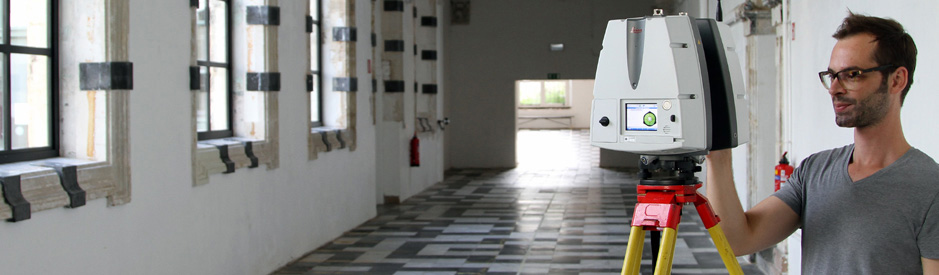
Complex structures in the field of civil engineering such as
bridges and tunnels are measured with a lot of detail with 3D laser
scanning.
Combination of 3D laser scanning and mobile mapping,
Craeybeckxtunnel, Antwerp
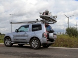
For infrastructure projects 3D laser scanning is also used for
the creation of digital terrain models (DTM) and topographical
measurements.
For surveys of longer trajectories such as roads or railways
mobile scanning is more often used than static scanning. In mobile
scanning, also called mobile mapping, the data is obtained using
scanners and cameras on a vehicle. More information about mobile
mapping can be found at www.mobile-mapping.be.
 3D Laser scanning of the Ezelpoort in Bruges
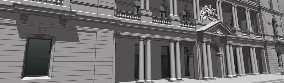 3D model of the customs office in Sydney
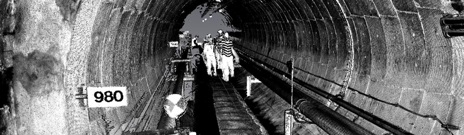 3D Laser scanning off the PALL tunnel
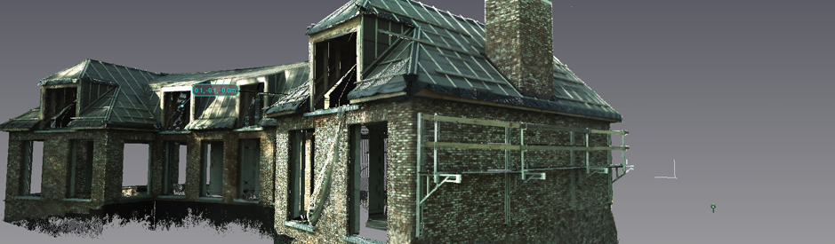 3D Laser scanning of a villa
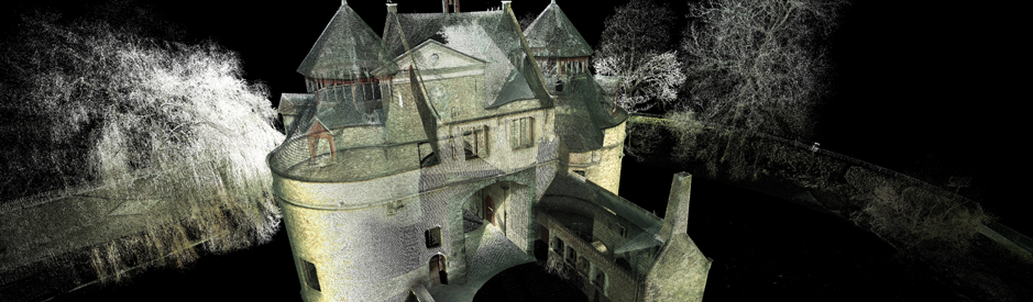
 3D laserscanning of an historical building


