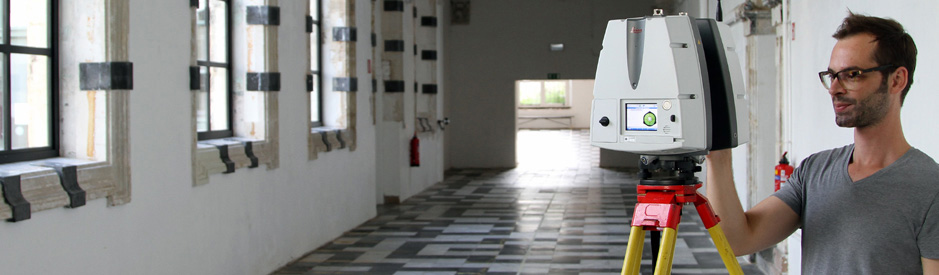
Historical buildings and modern constructions with a lot of
bended elements are often difficult to measure with conventional
surveying material. By scanning facades and interiors of a listed
building a 3D point cloud of the entire building is created.
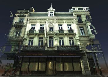
Facade scan Vlaanderenstraat, Ghent
This point cloud then serves as the basis for the production of
horizontal plans such as floor plans and roof plans, vertical
sections and facade plans. The position of doors, windows,
ornaments, statues, balconies etc. can be included in the plans.
This information is used for conservation, restoration and research
to optimize the use and design of the building.
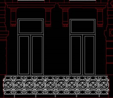
Facade plan Vlaanderenstraat, Ghent
A 3D model can be made of the scanned building which can be used
for combination with a new design, for BIM (Building Information
Modeling) or for 3D visualization or simulation.
3D laser scanning is also used in critical demolition
situations. The point cloud then gives a clear overview of the
building allowing to plan the demolition carefully.
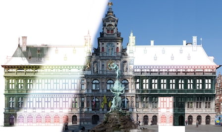
Combination of the image, scan and plan of the facade of the
city hall of Antwerp
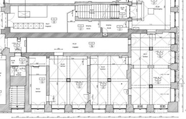
Floor plan city hall Antwerp
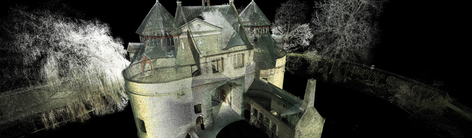 3D Laser scanning of the Ezelpoort in Bruges
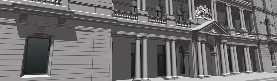 3D model of the customs office in Sydney
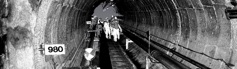 3D Laser scanning off the PALL tunnel
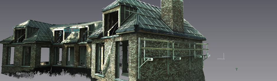 3D Laser scanning of a villa
 3D laserscanning of an historical building


